Heartline Trail

Reclaiming the Sherwood–Newberg corridor for community use

A 15-mile dormant railroad corridor connects Sherwood to Newberg through some of the most beautiful farmland and wine country in the Willamette Valley. The PNWR Newberg Branch hasn’t seen regular service in years — but the right-of-way still exists, intact and continuous.

Map of the PNWR Newberg Branch corridor from Sherwood to Newberg, Oregon

We’re working to preserve this corridor and convert it into a shared-use trail before the opportunity is lost.

Latest Updates

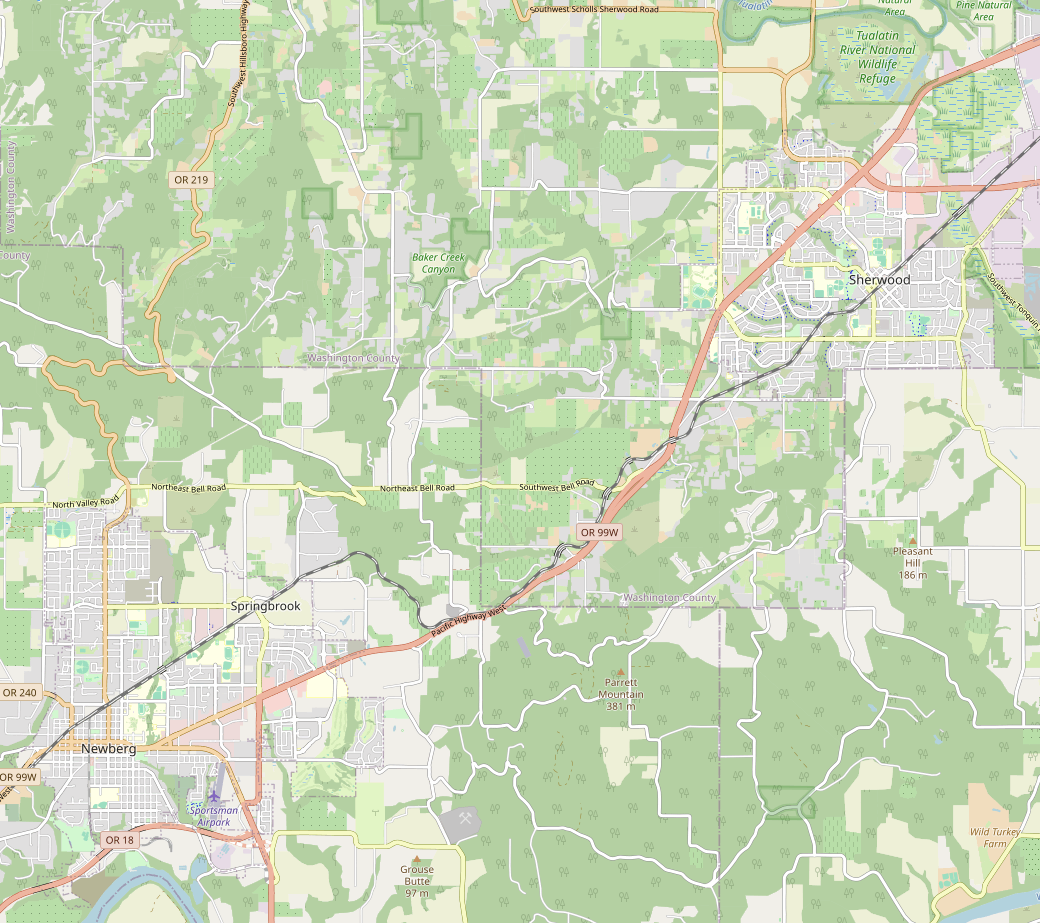
Ride the Trail — in 3D

Ever wondered what a trail through the Sherwood-to-Newberg corridor would actually look like? Now you can find out.

We’ve built a 3D flythrough viewer that lets you ride the full 15-mile route from your browser. It uses real LiDAR terrain data and shows the actual right-of-way boundaries, bridges, and elevation changes along the corridor.

Hit play and take a virtual ride, or use your mouse and keyboard to explore at your own pace. You can adjust your speed, height, and point of view — fly low to get a trail-level feel, or pull up high for a bird’s-eye view of the route.

Project Launch

We’re launching this site to begin building public awareness of the opportunity — and the urgency — around the PNWR Newberg Branch corridor.

Over the coming weeks we’ll be publishing background research on the corridor’s legal status, the railbanking process, and the case for a Sherwood-to-Newberg trail. We’ll also be reaching out to local elected officials, planning staff, and potential partner organizations.

If you’ve found your way here, you’re early — and we’re glad you’re here. Sign up to volunteer or subscribe via RSS to follow along.

All updates →